Google releases open-source Cartographer 3D mapping library
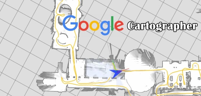
Google has released open-sourced Cartographer, a real-time simultaneous localization and mapping (SLAM) library in 2D and 3D with ROS (Robot Operating System) support. This technology which works with the open source ROS can be used by developers for many things, such as robots, drones and self-driving cars.
SLAM algorithms pool data from various sensors (e.g. LIDAR, IMU and cameras) to calculate the position of the sensor and a map of the sensor’s surroundings at the same time.
“Our focus is on advancing and democratizing SLAM as a technology,” Googlers Damon Kohler, Wolfgang Hess, and Holger Rapp wrote in a blog post. “Currently, Cartographer is heavily focused on LIDAR SLAM. Through continued development and community contributions, we hope to add both support for more sensors and platforms as well as new features, such as lifelong mapping and localizing in a pre-existing map.”
Check out Toyota influencing this open source project with one of its robots in the video below.
Google is also sharing 2D and 3D LIDAR and IMU data that was collected using its backpack platform, in addition to this open source project. This data was gathered while the search-giant tested and developed Cartographer, and should be very valuable for developers.
Google frequently open-sources software, so does Facebook, Microsoft, and LinkedIn among others. However, as the company continues to develop its self-driving cars and its Tango augmented reality system, this move may help Google bring in more people who are skilled in SLAM.
Check out Cartographer on GitHub here.

